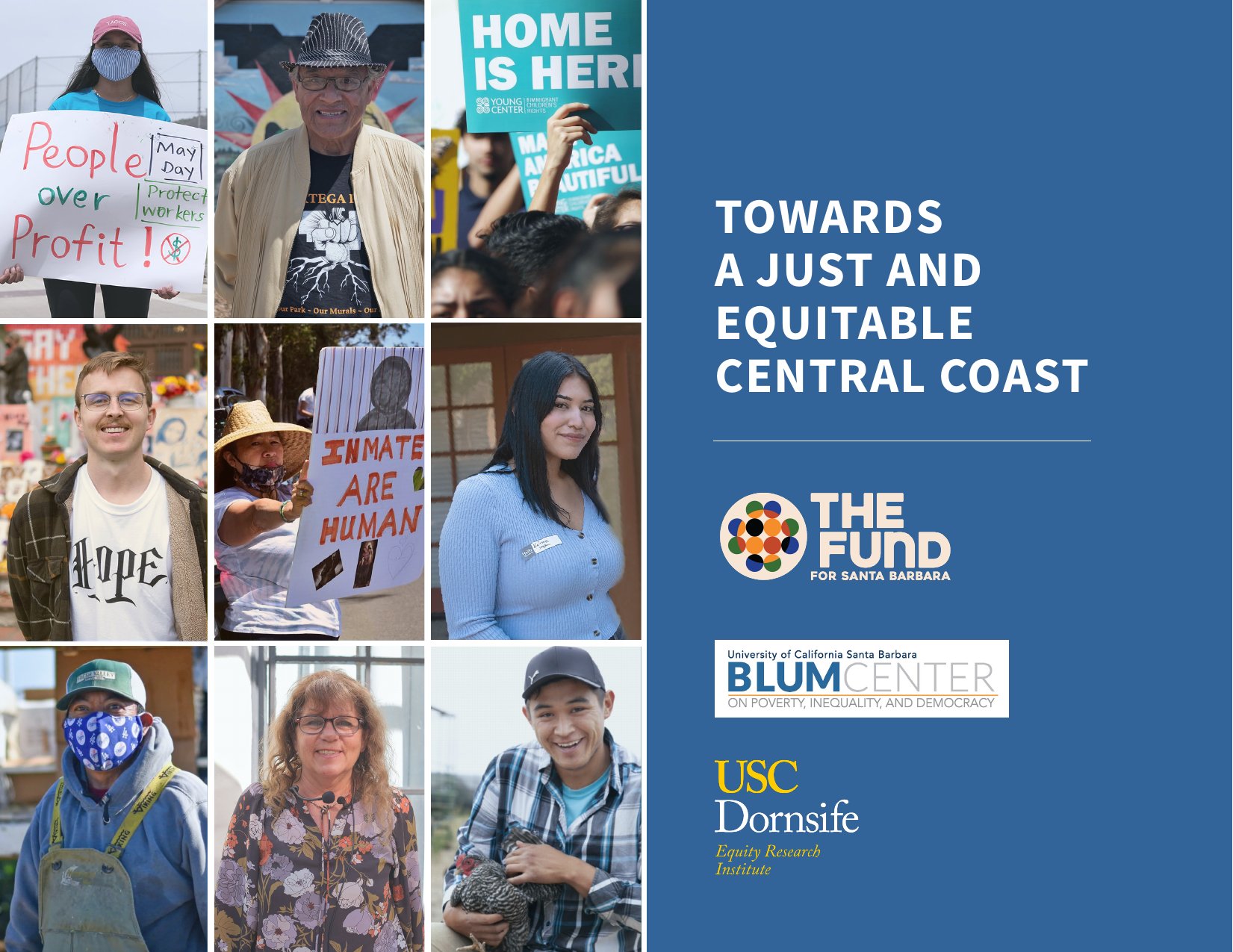
A regional equity report from The Fund for Santa Barbara, the UCSB Blum Center, and the USC Equity Research Institute, examining wages, housing, criminal justice, education, and environmental inequities across Ventura and Santa Barbara Counties.
Mapping Tools for California’s New Legislative Districts
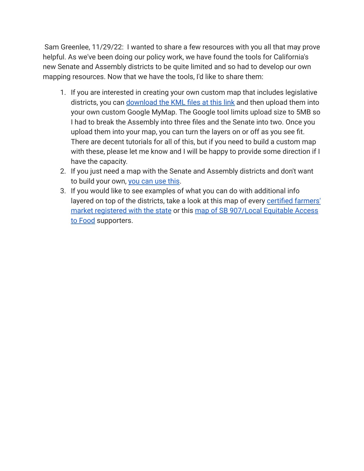
On November 29, 2022, Sam Greenlee shared a set of mapping resources developed to work with California’s newly drawn Senate and Assembly legislative districts, since existing tools for these new boundaries were limited.
The resources include: downloadable KML files (split into multiple files to stay under Google’s 5MB upload limit) for building a custom Google MyMap with the new legislative districts as toggleable layers; a pre-built map showing the Senate and Assembly districts for those who just need a quick reference; and example maps layering additional data on top of the districts, including a map of every certified farmers’ market registered with the state, and a map of supporters of SB 907 / Local Equitable Access to Food.
The full resource list, including the KML download link, the pre-built district map, and the two example overlay maps, is available in the linked/embedded document below.
Related Posts